Jack Dangermond on Multi-Dimension GIS and Equity

By Betsy Gardner • July 21, 2021

  • July 21, 2021
  • GIS

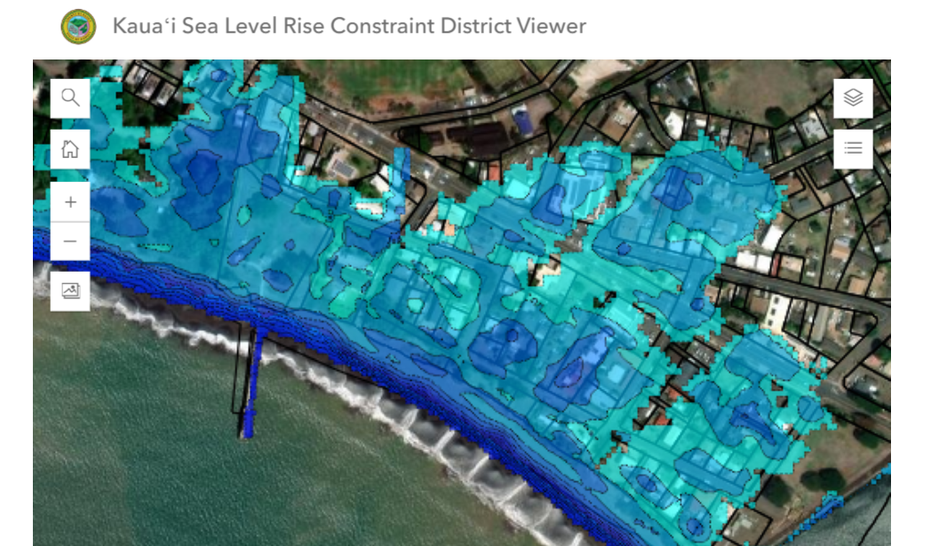
In this episode, Professor Steve Goldsmith interviews Jack Dangermond, the founder and president of Esri. They talk about the way cities can utilize multi-dimension GIS, how important mapping is for equity-focused organizations, and the interrelatedness of systems and policies. 

Listen below, or wherever you get your podcasts, to hear Professor Goldsmith and Jack Dangermond discuss the invention of computer map-making, how the pandemic is shaping innovation, and the new geo-spatial infrastructure. Transcript available here.

About the Author

Betsy Gardner

Betsy Gardner is the editor of Data-Smart City Solutions and the producer of the Data-Smart City Pod. Prior to joining the Ash Center, Betsy worked in a variety of roles in higher education, focusing on deconstructing racial and gender inequality through research, writing, and facilitation. She also researched government spending and transparency at the Lincoln Institute of Land Policy. Betsy holds a master’s degree in Urban and Regional Policy from Northeastern University, a bachelor’s degree in Art History from Boston University, and a graduate certificate in Digital Storytelling from the Harvard Extension School.