- March 25, 2016
- GIS
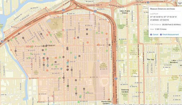
Geospatial data is increasingly central to the conversation about civic data. From map-based visualizations of open data to applications layering location-based datasets to unlock insights, cities and their residents are relying on GIS to help make sense of ever-increasing quantities of data. Below, we've collected relevant articles, resources, and news to help understand this growing field.