- March 28, 2023
- Civic Data
Our #DataReads series curates links and examples for those looking for an introduction to a particular civic data topic.
In 2021 we published an article about mapping climate migration, Map Monday: Where Will Climate Migrants Flock?, which received significant attention from readers looking to understand the relationship between climate change, housing, and geography. While the original map wrote about where people will move, a recent Guardian article discussed where the American climate migration is already happening. In light of this, we wanted to highlight a couple of our articles and podcasts that touch on how infrastructure and the way we think of housing has to change, and how to handle the sociocultural aspects of home displacement due to climate change.
New ways of thinking about infrastructure and housing:
In a recent podcast, Professor Steve Goldsmith interviewed Carlo Ratti, director of the Senseable City Lab at MIT. An architect and engineer by training, urban data plays a crucial role for Ratti when it comes to understanding city infrastructure and human living and travel patterns. Listen to their conversation on the Data-Smart City Pod episode 35, Carlo Ratti on Cities, Sensing, and Breaking from the Past.
Many city leaders are looking at alternative types of residences to accommodate growing populations coupled with increasing housing costs. Various types of “tiny houses,” or accessory dwelling units, located on privately owned property are one way to increase livable spaces in dense urban environments. Read how one West Coast city is changing zoning and regulations to alleviate the housing crisis in Advancing Seattle’s Accessory Dwelling Unit Strategy.
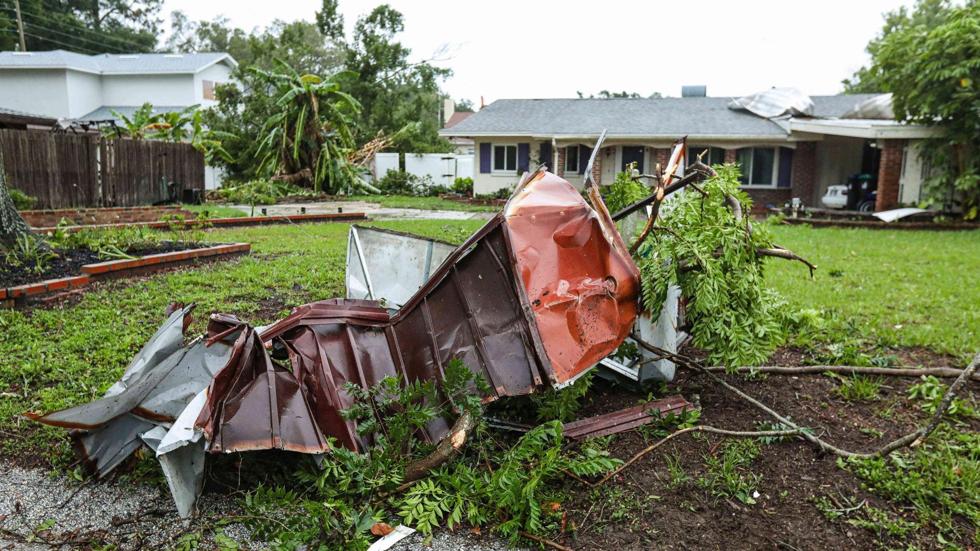
Some regions are particularly vulnerable to the impacts of climate change, and in the United States southern coastal areas have high risks of flooding from storms and rising sea levels. In Louisiana, leaders in Baton Rouge developed an innovative stormwater mapping tool to quickly identify areas damaged by excessive water and help direct emergency funding to repair homes and infrastructure. Read about their work in our article Infrastructure and the Environment: Mitigating Flooding in Baton Rouge. One of the other, highest-risk places in the US is Miami, Florida, and city leaders there have engaged specific teams to combat extreme heat and sea level rise. Read how data informs this work, including data from citizen-scientists, in Smart Cities and Climate Change: Lessons from Miami.
Understanding and mitigating climate migration and displacement:
In DSCP Episode 37 Professor Goldsmith interviewed Carlos Martín, project director at the Joint Center for Housing Studies at Harvard University. Martín heads the Remodeling Futures Program, which has a specific focus on the factors influencing the growth and changing characteristics of housing in the US. One of the biggest factors currently is climate change, with homeowners and policy makers concerned about the resiliency of current housing stock, the limitations of remodeling or mitigation, and the history of climate displacement in America. Listen to their conversation in Why Housing and Community are Actually Infrastructure on the Data-Smart City Pod.
One of the concerns about displacement is the inequitable treatment of lower income folks and communities of color, as evidenced in the mistreatment of Dust Bowl migrants and the forced relocation of Native American tribes. In order to identify current displacement pressures and show the negative impact on these communities, some neighborhoods are relying on visualizing data on housing stock, environmental quality, and rental costs to combat expulsion. Learn how residents in North Carolina are Using Maps to Combat Displacement and residents in Chicago are Mapping Displacement Pressure.
Persistent droughts and water scarcity are main drivers of displacement in the American southwest, and data maps are crucial tools in this space as well. There are major concerns about the Colorado River as fights over the diminishing water source impact several counties, states, and tribal reservations. The Native Waters on Arid Lands project has data modeling and projections to predict weather, temperature, and precipitation patterns across ten reservations in the central and western United States.
The Data-Smart team will continue to research, write, and update on issues of climate change, resiliency, sustainability, environmental health, and displacement. Readers can explore even more articles and podcasts that fall under these themes — and more — at the link.