- Map
- District of Columbia
- Urban Forestry Administration

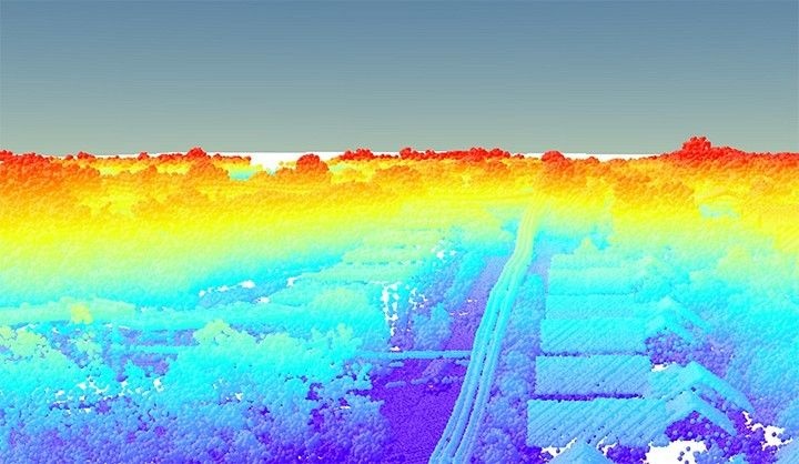
The map shows 311 Service Requests in the last 30 days for requests for tree removals, DDOT's Urban Forestry Administration (UFA) removes trees that are dead, dying/diseased, layered over data on waterbodies and building foot prints. DC foresters began to look at ways to estimate or assess the number of trees and found the perfect answer with lidar, which uses timed pulses from an airplane-mounted sensor to create high-resolution maps. Fortunately for UFA, the U.S. Geological Survey had recently conducted a large-scale lidar flight of the Eastern Seaboard to evaluate damage from Hurricane Sandy, which generated the necessary data for the assessment. With the help of filtering and processing algorithms, officials used the data to produce an accurate citywide map detailing individual trees by their heights and crown widths. The lidar map answered the original question, but the more the foresters used the data, the more opportunity they discovered. For example, field arborists at the time faced difficult enforcement challenges in their effort to ensure that construction companies and residents secured the necessary removal permits required for “mature” trees, or those of a certain size. Arborists could not determine which removals violated the law even when they discovered the results. But with lidar data, UFA staff could quickly find a removed tree’s original height and determine whether the removal was illegal, allowing the agency to more effectively enforce permitting laws.
DATASETS
US Geological Survey; 3-1-1 requests, DDOT's Urban Forestry Administration


