

San Francisco Urban Forest Map
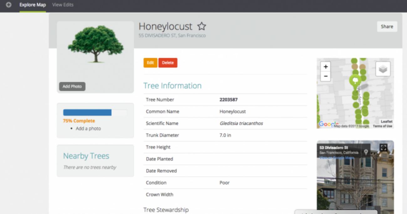
Beginning in January 2016, a team of certified arborists began mapping and recording every street tree in the City. Upon completion in January 2017, the census identified the exact location, species and current condition of every tree, in addition to identifying potential vacant sites for future plantings. The Urban Forest Map is a collaboration of Friends of the Urban Forest, the City of San Francisco, businesses, and volunteer tree mappers to plot every tree in San Francisco. Along the way the city calculated the environmental benefits the trees provide - how many gallons of stormwater they filter, how many pounds of air pollutants they capture, how many kilowatt-hours of energy they conserve, and how many tons of carbon dioxide they remove from the atmosphere. The information the city gathers will help urban foresters and city planners to better manage trees in specific areas, track and combat tree pests and diseases, and plan future tree plantings. Climatologists can use it to better understand the effects of urban forests on climates, and students and citizen scientists can use it to learn about the role trees play in the urban ecosystem. The city's goal is to provide a one-stop repository for tree data, sourced not only from institutions but also from members of the public. Visitors can zoom into and tag trees in their own neighborhoods, and each tree has its own bio page. The final results have revealed 124,795 street trees, over 20,000 more than previous estimates including 500 different species. Approximately 40,000 potential planting locations were recognized, providing tremendous opportunity to grow the city's urban forest. Data shows that the current number of street trees sequesters over 19 million pounds of carbon dioxide and filters more than 100 million gallons of stormwater every year. The data sources are specifically from tree inventory specialists ArborPro and Davey, whose employees walked throughout San Francisco to record this. information on each of the street trees.
Stats
Dataset(s): Open data portal. All of the numbers and dollar values for the ecosystem services provided by trees come from the Forest Service's iTree Streets software tool.
Visualization: Map
Jurisdiction: San Francisco
Developed by: Friends of the Urban Forest
Partners: San Francisco Planning, San Francisco Public Works, Friends of the Urban Forest, and tree inventory specialists ArborPro.
Map Monday: Urban Forest Map

