LA Energy Atlas
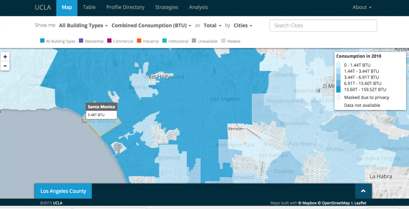
The Energy Atlas, as it's known, provides a database that charts and maps previously unreleased data on household natural gas and electricity consumption obtained from utilities alongside Census records. The Energy Atlas is fully searchable: the curious can sort L.A.'s energy use by income, neighborhood, energy type, building age, and plenty of other measures. Bliss then puts the Energy Atlas to good use, exploring its database for a few conclusions about energy use in Los Angeles. So, for instance, Bliss uncovers this probably-not-at-all surprising revelation: "Given that low-income families tend to live in multi-family buildings, perhaps it's not surprising that the highest energy users were also those with the highest incomes. Residents of wealthy beach side Malibu used more than 10 times more energy per capita than those in working-class Bell, a city south of east L.A."
