Grow Chicago
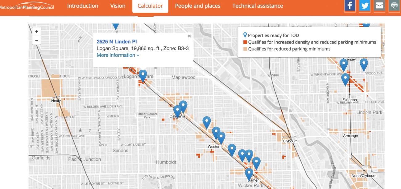
The interactive map identifies new opportunities for people of all incomes to live, work and shop near transit in neighborhoods across the city. Users can see how development near transit can benefit them and their community through economic development and jobs, more revenue for schools essential city services, and better transportation access. Users can select their community and distance from transit to view available retail, commercial, or residential space.
Stats
Dataset(s): Chicago Cityscape Cook County Assessor's Office Cook County Clerk's Office City of Chicago Data Portal Second City Zoning
Visualization: Map
Jurisdiction: City of Chicago
Developed by: Metropolitan Planning Council
Partners: Chicago CityScape
Data-Driven Insights on Urban Water Systems
June 2, 2016 Infrastructure Cities are facing a number of environmental, social, and economic challenges regarding the sustainability of their infrastructure systems. When different city stakeholders refer to different sources of information and have...

